11, April 2019
The world's population is evolving rapidly; more than half is residing in urban areas, which is expected to evolve to 70% by the year 2025. The growth of the city is inevitable, so it is essential to sustain the balance amid social, spatial, environmental, and economic aspects of the city and its population, which pivots on three key aspects environment, commercial development, and public equity, which is intricate and in constant flux.
Smart city planning is essential, as it aids in harmonizing amid the resources and city demands. It consents in achieving suitable environment-friendly industries, profiting both nature and the stakeholders. One aspect of smart city innovation, being experimented is the geospatial analytics technology. The smart cities aim at providing harmony in urbanization and economic growth, which makes location information crucial for the process. Thus, the rising smart city projects in emerging and emerged regions are developing panoramas for global geospatial analytics companies.
What is Geospatial technology?
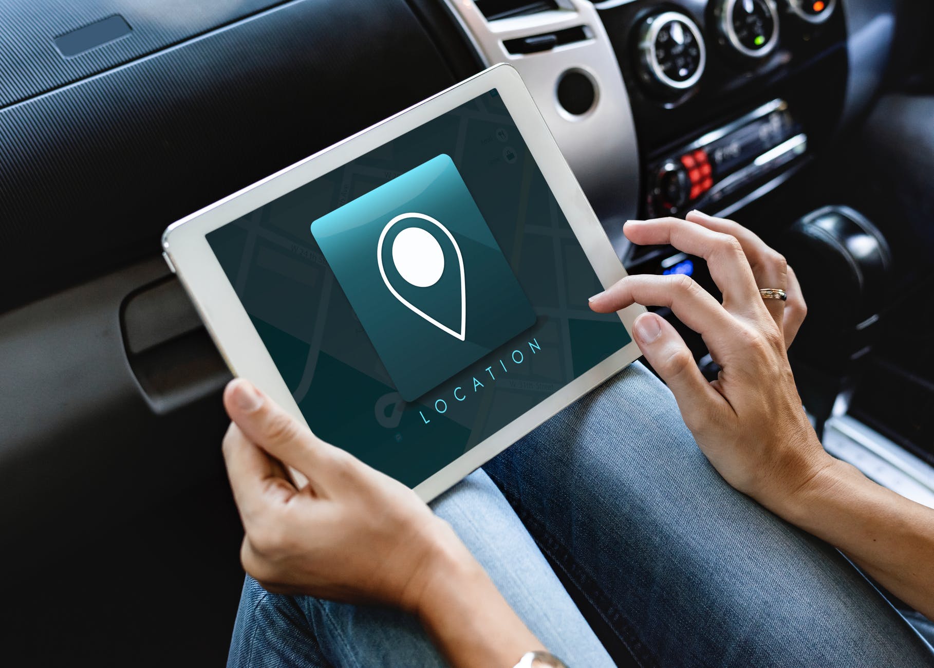
Geospatial technology is used to depict the array of novel tools, influencing geographical analysis and mapping of the earth and human society. These technologies are evolving in some or the other form since the inception of the first maps crafted in conventional times. Geospatial data and technologies are fundamental. Han Wammes, Business Development Manager Geospatial Information Management at 1Spatial, writes ‘’everything happens somewhere, and only then one knows that where everything is there, connections can be created that make smart cities”.
Geospatial technology is a multidisciplinary field related to collecting, processing and systemically storing location-based data. The geospatial analytics market technology includes remote sensing, GIS, GPS, GNSS, LBS, and mobile mapping technologies. It is being utilized to develop services and operations by augmenting accuracy, speed and cost-effectiveness of smart city projects. These technologies are functional across all sectors and departments, including Healthcare, Law Enforcement, Urban Planning, Transportation, Environmental initiatives, Disaster recovery, Facility management, and Social Services.
These projects are aiming to discourse urban challenges while spatially facilitating the citizens with vital information. The built surrounding becomes alive, responding intellectually to innovative information and demands of the community with the help of connected information system and real-time data analysis.
Prime examples of geospatial analytics technology in smart cities projects

Prevalent cases of terrorist attacks in today’s world is increasing the need for severe standards of security for public safety, and the global market for biometric technology scrupulously accommoda..
Prevalent cases of terrorist attacks in today’s world is increasing the need for..